|
Airport Directions
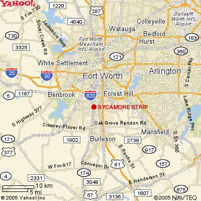
From
Fort Worth take I-35 to I-20. Go west to Crowley Road then south
to Cunningham St. Airport will be on the right.
FAA
Identifier: 9F9
Lat/Long: 32-37-42.484N / 097-21-13.061W
32-37.70807N / 097-21.21768W
32.6284678 / -97.3536281
Elevation: 760 ft. / 232 m (estimated)
Variation: 6E
flying airport vfr charts ifr pilot supplies aircraft
|